N Desor Campground to Todd Harbor
Hard, 11.5 mi One Way
1,631 ft elevation gain
Hiked 7/24/25
Flickr Album, entire trip included
Day 2 was the least enjoyable for me, and was most likely the most frustrating trail I've ever hiked. The decision to leave the trail unmarked except for 1-3 stone rock cairns with this thick overgrowth is baffling. Routing of the trail is questionable at times and feels forced. Minimal ridge views.
On the other hand, it's a highly rated trail. I've definitely got West Coast bias and am coming from the Canadian Rockies. The majority of my issues were more of a design and implementation than the lack of views. Trail improves from Todd Harbor; Rock Harbor to Todd may be best trip overall, as Greenstone sounded like it lacked views and wildlife, while being a better trail than Minong.
Sorry the photos are not great today, I think I took less than twenty all day, and most were frustration photos haha.

A hazy Lake Superior from Minong Ridge. The one tree on the left technically means it never cleared the treeline (so petty).

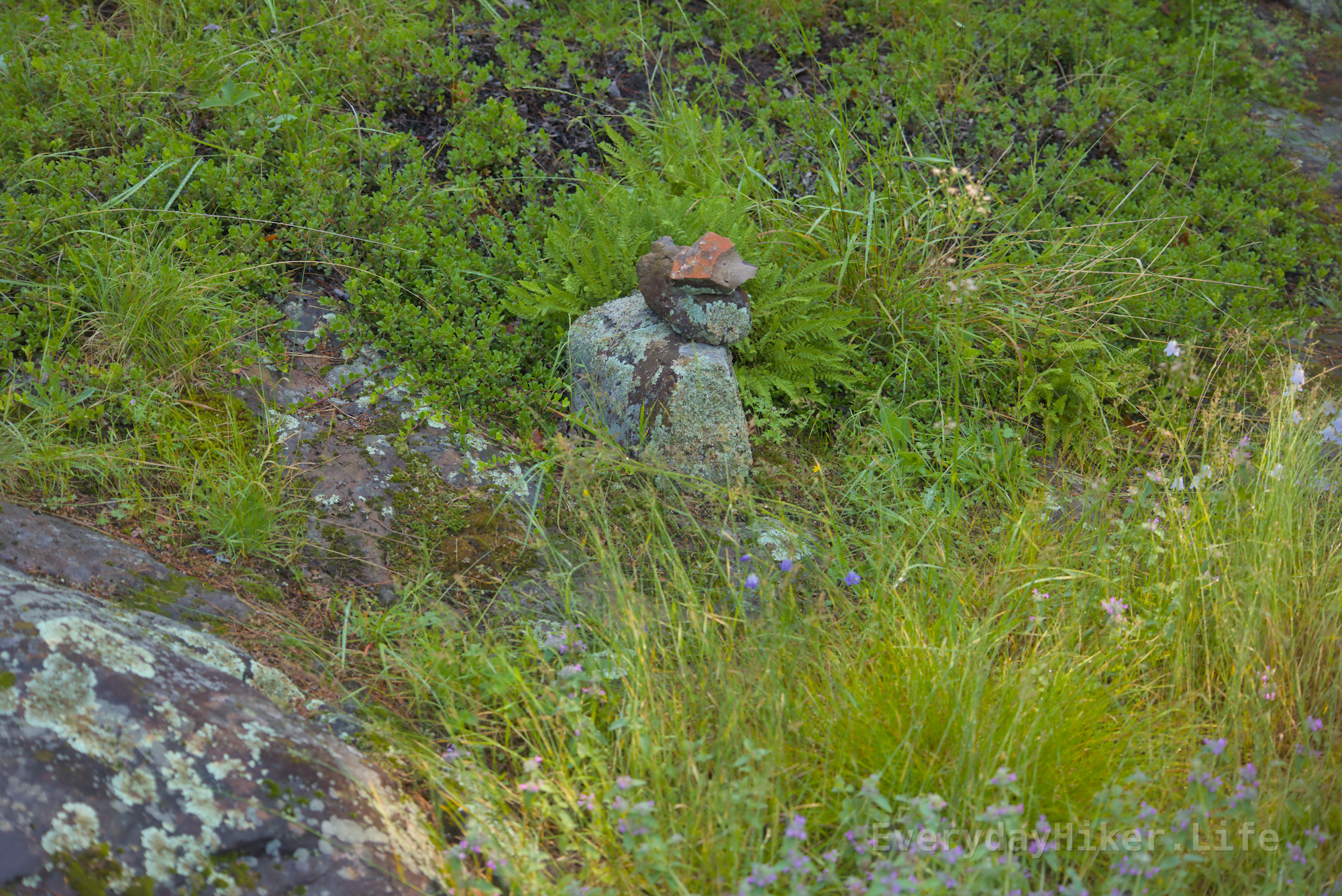
One of the cairns to mark the way. I strongly disagree with the decision to leave this trail largely unmarked and think it falls short for a National Park on many levels.
Another rock cairn to show the way. This is one of the better marked spots along the trail unfortunately, as it was actually at the exit from the small thicket.

Haha, yeah, the storms that rip through there are certainly something. On the final day I was told my first day rainstorm was 2 inches accumulated and I definitely believe it!