everydayhiker

joined 3 weeks ago
 

Easy 3.2 mi out and back/loop or easier 0.8 mi hike starting at Illecillewaet campground 436 ft elevation gain Hiked 5/27/25

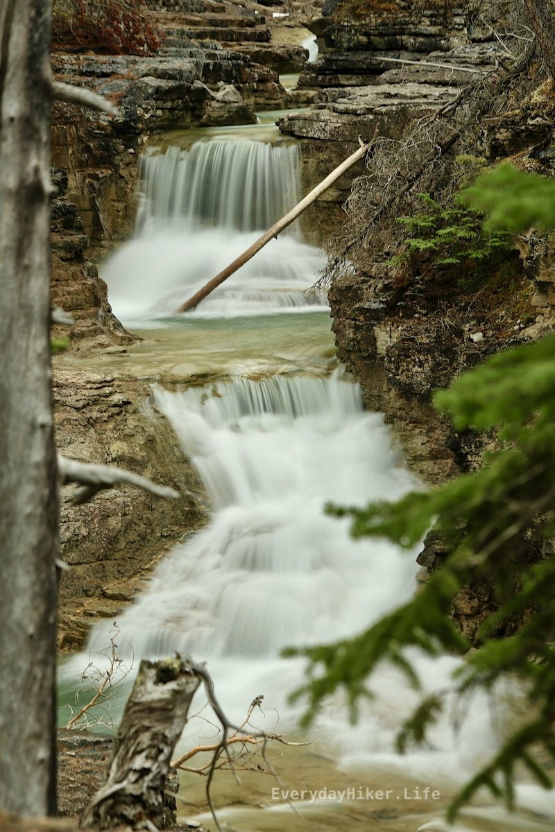
This route adds on the early flat section of the Great Glacier trail to get to the historical Glacier House remains before a beautiful joining of water along the Illecillewaet river as various water flows combine. Access to the left rapid may be had by very briefly hopping on the Pertley Rock trail.

The bridge spanning Illecillewaet river after Asulkan brook joins it.

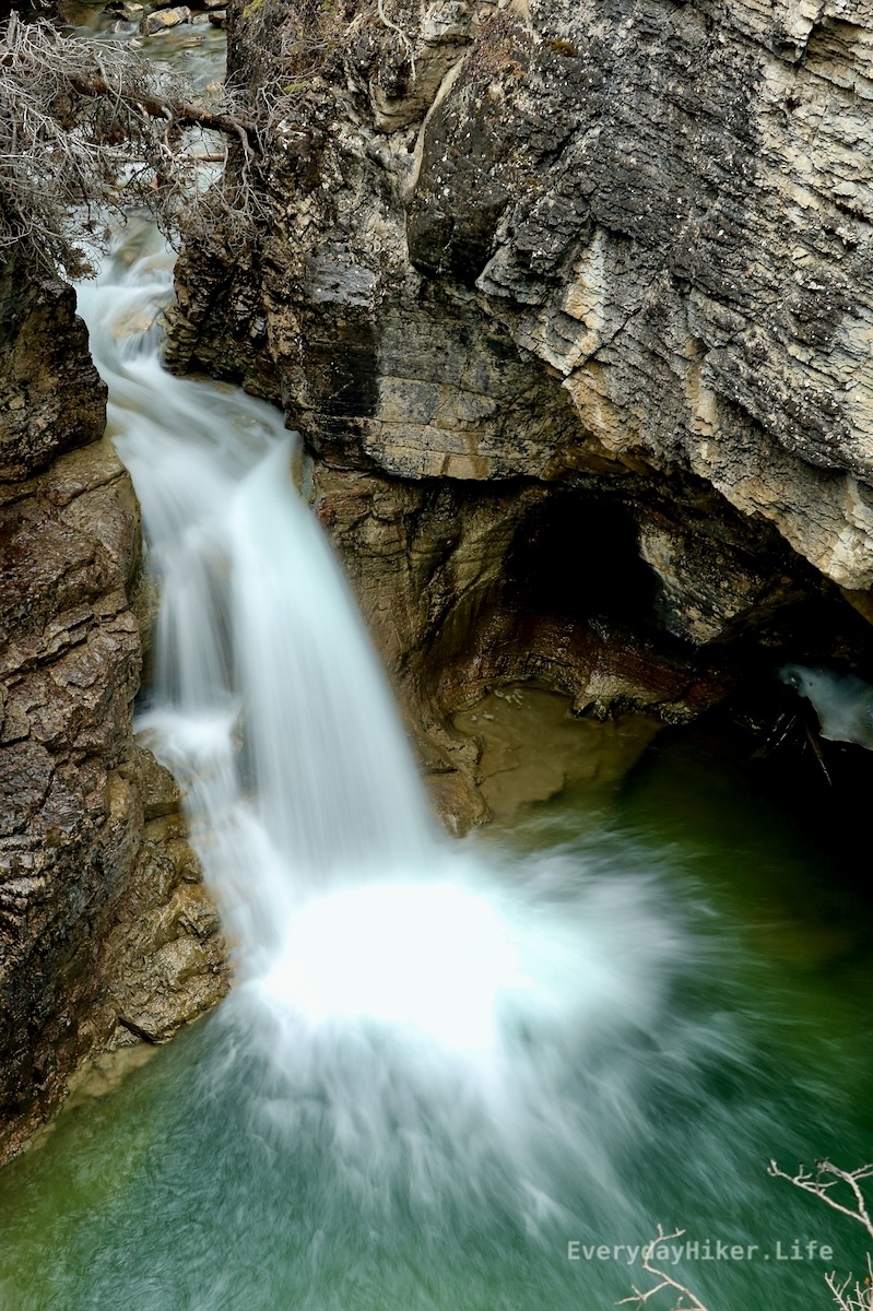
Asulkan Brook (right) joins the Illecillewaet river river as they flow beneath.

Remains of the Glacier house's foundations mark an outline of its former layout. Information may be found along the trail.

[–] everydayhiker@lemmy.world 2 points 19 hours ago (1 children)

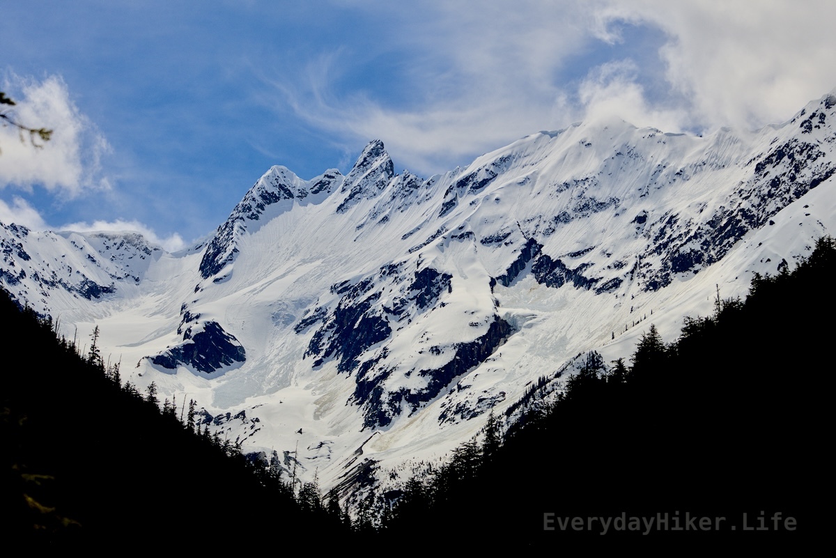
If you mean Glacier on the US side, yeah my favorite park that I’ve been to. I’ll spend a little time there when I cross over, gotta get in another go on the Pitamakan-Dawson for one thing. I’ve always been there end of season though so it’ll be nice to see this time of year. Waterton will be first time for me.

[–] everydayhiker@lemmy.world 2 points 20 hours ago (3 children)

Thanks! Yeah, I think Stanley glacier may be my favorite hike up here so far, but they’ve all been so nice. There is a ton I’ll need to come back and do since I came through here so early, but I am more than happy to come back. I’ve got maybe 10 more days to check out castle park and waterton area before I cross back into the states for a little while heading east. There’s still a ton of daily hikes to post before then though, I’m just going through in the order they happened.


Length: 0.5 mi loop Elevation gain: 115 ft Hike date: 5/27/25

This quick nature walk would serve as a great spot to have a picnic or to quickly stretch your legs. It still manages to provide a few different view types, including a great view of Bonney glacier to the south as well as a small boulder field and a lush forest that is taking over the rocks.

The trail through the boulders has been laid out using rocks from the boulder field making an easy path.

Pine forest and moss slowly overtakes the rock field.


Easy 1.5 mile Loop 300 ft elevation gain Hiked May 23, 2025

An extremely popular hike due to its ease and location north of Lake Louise on the Icefields Parkway, this hike puts you right on top of the falls where you may wander along the top of the canyon and see the various water chutes. A short loop uses part of the Mt Sarbach trail to get a higher view. Both parking and the people can be a mess here, so plan accordingly.

Where the river meets the canyon creating a short but turbocharged waterfall.

Mistaya canyon unfolds towards Mount Sarbach in the distance.

Mount Sarbach in the distance with Mistaya river and a forest extending downstream.

[–] everydayhiker@lemmy.world 2 points 2 days ago

Damn, that is wild. Agree on the cats, they worry more than anything and I’ve rarely ever even seen any. I had wondered if many people went out that way as a backpacking trip, but I’d say you filled it in really well. Thanks!

[–] everydayhiker@lemmy.world 1 points 3 days ago

Apparently I don’t know the right string to ping you on the other thread, but its up now. I think the final waterfall/rapid is the one you referred to, at the boundary area of the wilderness.

[–] everydayhiker@lemmy.world 1 points 3 days ago* (last edited 3 days ago) (2 children)

u/ikidd I believe the final waterfall pictured is the one you mentioned as having the campground. Its right by the boundary of the wilderness area. Definitely not the same as what I originally thought.


Moderate, 1,322 ft gain 9.5 mi Out and Back

Extending beyond Siffleur falls for another 2.3 mi to the edge of the Siffleur Wilderness area, this trail add-on increases the difficulty and the trail degrades as you get closer to the wilderness area. More views of the various rapids and falls as well as a closer look at Elbe Peak. Rope section at the end to climb a degraded hill, but not too difficult. I believe another tenth of a mile from where I turned around is a small campsite as mentioned in yesterday’s comments.

Elbe peak stabs its way upward while the Siffleur river flows through the canyon below.

The steep ridgeline of Elbe peak.

One of the better waterfalls beyond the main Siffleur falls, this is at the edge of the wilderness area and has another rapid out of frame below.

[–] everydayhiker@lemmy.world 1 points 3 days ago* (last edited 3 days ago) (3 children)

Yeah, I continued on to just past the hill with the ropes to get up and then turned around after seeing that viewpoint of the long rapid/falls. Seems like it gets pretty wild from there on. Tomorrow I’ll post a group of photos from that section beyond the main falls. Although I couldn’t get a photo I like, I think my favorite section was half a mile or less beyond the main falls where that huge wedge rock is getting cut by the river before you start to climb again. I believe that is where the camping may also be. IIRC one of the falls I’ll post tomorrow is just upstream of it. That and the bridge, I love pedestrian bridges haha.


4.4 miles roundtrip (to falls only) Easy, 475 ft elevation gain

This trail starts by crossing the N Saskatchewan river over a large pedestrian bridge. From there you will continue upstream from where the Siffleur river ends up to the main waterfall area, passing through an expansive grassland and above the canyon carved by the river. Trail may be extended well beyond the falls, I turned it into a 9.4 mile total, which I’ll post some pics for tomorrow. This trail probably doesn’t need splitting, but I’m gonna do it anyways haha.

Siffleur falls roars its way down into the canyon.

A fraction of the overall falls can be seen from this upper viewpoint. The majority is diverted behind the rock in frame.

Looking along the deep trench walls at the end of the canyon as the Siffleur river continues on.


Still to the east of Icefields Parkway the Cline river feeds into the N. Saskatchewan river. You’ll hike above the canyons carved over time by the Cline for 2 miles before heading back while seeing 3 or 4 waterfalls (still frozen at time of hike) and have sweeping views of Sentinel mountain. On the return, you can come back the way you came (recommended) or return via a horse trail that loses the majority of the view. Hiked 5/21

The Cline river flows away from Sentinel Mountain before cutting its way into the canyon below.

The Cline river cut through this ridge over time, creating the entrance to a slot canyon. The stream quickly redirects itself as it hammers into the cliff wall.

The still frozen waterfall shows some life as a small trickle finds its way out the lower section. There were 3 or 4 still frozen falls along the trail. Black and white.

The Cline river exits a slot canyon with Sentinel mountain off in the distance.

[–] everydayhiker@lemmy.world 1 points 5 days ago

Thanks, I appreciate it! Yeah, since it’s mostly all trail photos that I take, I enjoy placing people at a distance for scale if I’m trying to include the route. Today’s post has a pretty good one as well that I liked.


Just east of the Icefields Parkway in Alberta this great trail opposite the beautiful Abraham Lake (N. Saskatchewan River). Gaining 2800 ft to get to the top of Allstones ridge includes a long exposed section of loose rock well worth the effort before heading down to the smaller Allstones lake. There is some amazing camping all along Abraham lake, requires the $30 annual Public Land Use Zone permit (what a great bargain). Hiked 5/20/25

The glacial waters of Abraham lake seen below the rocky peak of Allstones ridge. Snowy Kista peak is off in the distance.

Downhill from the summit of Allstones ridge, three hikers may be seen talking (about 1/4 mi away). Allstones lake is partially frozen below with Infinite Stones peak looming over it.

Looking out from the hillside, a rain/snow shower falls on Abraham lake below. Kista peak and Mt Michener can be seen in the background. This is the slope for the majority f the loose rock section, it gets steeper but with more defined footing at the top.

Abraham mountain and Allstones peak on the other side of a forested valley. Black and White.


Hiking along the glacial till in the large bowl of the Athabasca glacier leaves one filled with awe. This short route takes you to a nice viewpoint in the location of the glacier in 1996 before turning back around or advancing on another trail. I combined this trail with a small section of the Boundary trail that took me to that super sketchy crevasse. Also pictured with the other trail photos is a collection of the markers for where the glacier was located in 1996, 1948, and 1844.

Crumbling snowpack spans the outflow of the Athabasca Glacier, which may be seen in the background. Small from distance, the vehicles that drive up to the glacier may also be seen along with their tracks.

Black and white picture of Athabasca glacier.

Gaze up at Mt Athabasca before crossing the bridge early on the trail.

Marker displaying the location of the Athabasca Glacier in 2006, with the glacier seen over a mile behind it. Black and white.

Another example of the retreat of the Athabasca glacier. The people are at the location of the 2006 marker.

The Athabasca Glacier is well over two miles away from this marker designating its position back in 1948.

The location of the Athabasca glacier in 1844, the glacier can be seen well off in the distance. This marker is on the far side of the parking area opposite the highway from the glacier.

[–] everydayhiker@lemmy.world 4 points 1 week ago

That sounds like a good adaptation they’re making, even just greater cell phone access is probably making that worse as well. I've definitely had park people scoff at me when bringing up AllTrails in the past, which is usually when I scratch that one off the list of to do’s. AllTrails also shouldn’t be encouraging shortcuts when switchbacks are there for a reason.

I’m sure this is preaching to the choir, but preparation beforehand goes so far too. It never ceases to amaze me how unprepared people are willing to go without even a set idea of where they want to be. I remember one time being at the high point of the High Divide trail in Olympic NP, WA and out of nowhere this panicked kid comes up to me asking for directions. This trail is 19 miles and 5k ft as a dayhike (people usually overnight or two) and he had just pushed on with some girl that was waiting down below a bit. This was at the halfway point so either way would’ve been fine, but he basically bailed before I could adequately explain anything. There’s a short loop of maybe 6 miles that I’m sure was what he meant to do, but how do you go ten miles on a six mile loop without turning around?

[–] everydayhiker@lemmy.world 2 points 1 week ago* (last edited 1 week ago)

Yeah, I’ve already been lukewarm on how they go about their trail data, as stressed by park rangers and this article, but overall that app has been a huge benefit for me. To me, this is likely the one step too far. One year to ween myself off of it before the subscription lapses.


Numerous hikers have been caught in a rockfall north of Lake Louise with multiple people injured or killed, according to the RCMP.

At around 1:30 p.m., Lake Louise RCMP were notified that "multiple hikers" were caught in a rockfall on a trail in the Bow Lake/Bow Glacier Falls area.

RCMP Cpl. Gina Slaney said the latest information available is that the incident involves "serious injuries and/or multiple fatalities," but she didn't have exact details as there is no cell service in the area and getting information from the scene is difficult.

[–] everydayhiker@lemmy.world 7 points 1 week ago

The card says ‘moops’.. fixed, thanks

[–] everydayhiker@lemmy.world 5 points 1 week ago (2 children)

Well , that’s unfortunate. My subscription that I was on the fence about anyways renewed about 10 days ago. Their tracking beats anything else I know of. Garmin Connect is not my favorite UI, but it’ll work.


AllTrails has a new generative AI feature that can be asked to 'shorten my route' or 'make this more scenic.'

But the people in charge of searching for lost hikers say the feature is going to exacerbate an issue they’ve been warning about for years: hiking apps providing false information."

(Reader mode shows the full article)


A short hike made slightly more difficult by the remaining snow in the trail on 5/15, mile long out and back descends from where the parking lot to the falls along a steep ridgeline. Views of bridal veil falls may be seen across the valley, and later in the year a path to them may be accessible.

Panther Falls drops down while the creeksides remain partially snowbound. This fall may create a good snowcone structure in winter based on some of the snow chunks I saw laying around.

The trail passes under a fallen log amid some boulders while bridal veil falls may be seen through a gap in the trees across the valley.

Same view of the falls as the main image, but this time with me being blinded by the blazing sun in the foregound.


One of the many great waterfalls with an easy hike along the Icefields parkway in Jasper NP, this 2.6 mile roundtrip rises a mere 450 ft along Beauty creek. Multiple falls are passed along this route that is highly worth the minimal effort. Hiked 5/14

Another waterfall below Stanley falls and the pretty patterns formed from its outflow.

A smaller fall that is upstream from the main Stanley falls.

A front view of one of the long rapids shows how clear the water can be when it is not being disturbed by flow.

[–] everydayhiker@lemmy.world 1 points 1 week ago

Yeah, as posted above, its in the Canadian Rockies.

view more: next ›